|
search place name
|
||
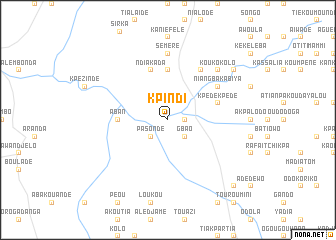
Kpindi (Togo)Kpindi is a town in Togo. An overview map of the region around Kpindi is displayed below.
regional and 3d topo map of Kpindi, Togo ::
Kpindi airports ::
The nearest airport is LRL - Niatougou Niamtougou International, located 43.6 km north west of Kpindi.
Nearby towns ::
Katiombiya (1.8km east) //
Gbao (2.6km south east) //
Kounakouro (2.6km north east) //
Pasondé (2.6km south west) //
Aban (5.5km west) //
Anira (5.6km north) //
Kpèdèkpèdè (5.8km east) //
Ikpélènion (5.8km east) //
Ndiakada (5.9km north) //
Belendiou (6.7km north east) //
Niangbakabiya (6.6km north east) //
Séméré (7.4km north) //
Koukokolo (7.8km north east) //
Doukoundri (9.2km north east) //
Kpouindi (10.4km south east) //
[all distances 'as the bird flies' and approximate] 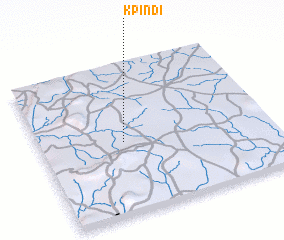 Places with similar names to Kpindi, Togo ::
Disclaimer :: Information on this page comes without warranty of any kind |
||
|
Where is Kpindi? Elevation and coordinates ::
Latitude (lat): 9°29'0"N Longitude (lon): 1°22'0"E
Elevation (approx.): 343m (map arrows pan, magnifying glasses zoom) |
||
|
Visiting Kpindi? Hotel/Accommodation ::
Book a hotel in Kpindi Travel Guide ::
Buy a travel guide for Togo rental cars ::
car rental offers GPS waypoint ::
download a GPX waypoint (PoI) of Kpindi for your GPS receiver
|
||