|
search place name
|
||
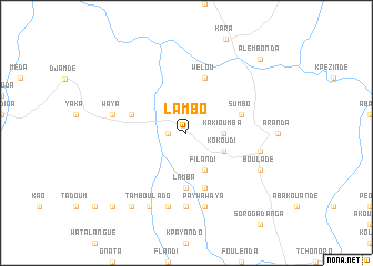
Lambo (Togo)Lambo is a town in Togo. An overview map of the region around Lambo is displayed below.
regional and 3d topo map of Lambo, Togo ::
Lambo airports ::
The nearest airport is LRL - Niatougou Niamtougou International, located 33.9 km north of Lambo.
Nearby towns ::
Atchangbadé (1.8km west) //
Kakioumba (3.7km east) //
Kokoudi (4.1km south east) //
Filandi (4.1km south east) //
Lamba (5.6km south) //
Bounon (5.8km west) //
Sumbo (5.8km east) //
Kiandé (5.9km south) //
Wélou (5.9km north) //
Groungouboui (7.4km south) //
Kpayaora (7.4km south) //
Waya (7.5km west) //
Lakodayo (7.6km south) //
Paywawaya (7.6km south) //
Djanguéla (7.6km south) //
Awandjélo (7.5km east) //
Kolanda (8.3km south west) //
Tamboulado (8.3km south west) //
Bouladé (8.2km south east) //
Kadiéka (9.2km south west) //
Alembonda (10.4km north east) //
Noumbanda (10.4km south west) //
[all distances 'as the bird flies' and approximate] 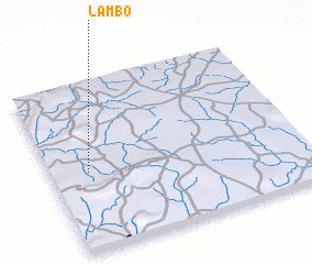 Places with similar names to Lambo, Togo ::
Disclaimer :: Information on this page comes without warranty of any kind |
||
|
Where is Lambo? Elevation and coordinates ::
Latitude (lat): 9°28'0"N Longitude (lon): 1°9'0"E
Elevation (approx.): 340m (map arrows pan, magnifying glasses zoom) |
||
|
Visiting Lambo? Hotel/Accommodation ::
Book a hotel in Lambo Travel Guide ::
Buy a travel guide for Togo rental cars ::
car rental offers GPS waypoint ::
download a GPX waypoint (PoI) of Lambo for your GPS receiver
|
||