|
search place name
|
||
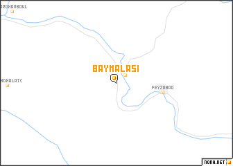
Bay Mālasi (Badakhshān, Afghanistan)Bay Mālasi is a town in the Badakhshān region of Afghanistan. An overview map of the region around Bay Mālasi is displayed below.
regional and 3d topo map of Bay Mālasi, Afghanistan ::
Bay Mālasi airports ::
The nearest airport is UND - Kunduz Konduz, located 151.9 km west of Bay Mālasi.
Other airports nearby include DYU - Dushanbe (215.9 km north west), Nearby towns ::
 Places with similar names to Bay Mālasi, Afghanistan ::
// Bou Melza (MA)
// Bombalice (PL)
// Bemalaza (MG)
// Bay Mills (US)
// Bow Mills (US)
// Bemba-Loisa (CG)
// Bomboulassa (NE)
// Bamalassou (GN)
// Bèmélassou (GN)
// Bommels (BE)
Disclaimer :: Information on this page comes without warranty of any kind |
||
|
Where is Bay Mālasi? Elevation and coordinates ::
Latitude (lat): 37°7'54"N Longitude (lon): 70°30'46"E
Elevation (approx.): 1166m (map arrows pan, magnifying glasses zoom) |
||
|
Visiting Bay Mālasi? Hotel/Accommodation ::
Book a hotel in Bay Mālasi Travel Guide ::
Buy a travel guide for Afghanistan rental cars ::
car rental offers GPS waypoint ::
download a GPX waypoint (PoI) of Bay Mālasi for your GPS receiver
|
||