|
search place name
|
||
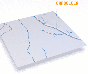
Candelela (Cuando Cubango, Angola)Candelela is a town in the Cuando Cubango region of Angola. An overview map of the region around Candelela is displayed below.
regional and 3d topo map of Candelela, Angola ::

Candelela airports ::
The nearest airport is SPP - Menongue, located 200.4 km north of Candelela.
Nearby towns ::
 Places with similar names to Candelela, Angola ::
// Kandlol (BD)
// Candelilla (CO)
// Kondolole (CD)
// Candelillo (CR)
// Candelillo (HN)
// Caño Tillal (VE)
// Kuntelela (MW)
Disclaimer :: Information on this page comes without warranty of any kind |
||
|
Where is Candelela? Elevation and coordinates ::
Latitude (lat): 16°28'0"S Longitude (lon): 17°48'0"E
Elevation (approx.): 1129m (map arrows pan, magnifying glasses zoom) |
||
|
Visiting Candelela? Hotel/Accommodation ::
Book a hotel in Candelela Travel Guide ::
Buy a travel guide for Angola rental cars ::
car rental offers GPS waypoint ::
download a GPX waypoint (PoI) of Candelela for your GPS receiver
|
||