|
search place name
|
||
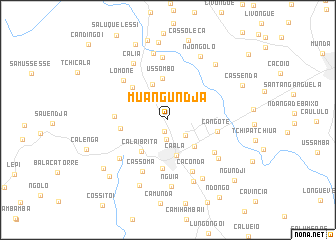
Muangundja (Huambo, Angola)Muangundja is a town in the Huambo region of Angola. An overview map of the region around Muangundja is displayed below.
regional and 3d topo map of Muangundja, Angola ::
Muangundja airports ::
The nearest airport is NOV - Huambo, located 22.6 km east of Muangundja.
Other airports nearby include SVP - Kuito (158.3 km east), Nearby towns ::
Nacandiango (1.3km south) //
Tchandenda (2.2km south) //
Lua Cheia (2.5km south east) //
Caála (4.1km south) //
Calilongue (4.1km south east) //
Ussombo (4.4km north west) //
Calai Brita (4.5km south west) //
Ussombo (4.7km north) //
Canala (5.2km west) //
Fazenda José de Matos (5.3km north west) //
Cauengula (5.5km south) //
Cangote (5.5km east) //
Cangonga (5.8km west) //
Cacondá (6.3km south east) //
Cambongue (6.2km south east) //
Cassoma (6.4km south west) //
Lomone (6.5km north west) //
Calai Brita (6.8km south west) //
Tchilombo (7.0km north) //
Calonundo Caluhue (7.0km south east) //
Nguia (7.4km south) //
Cália (7.4km north west) //
Mussili (7.5km south) //
Ndôngua (7.5km south east) //
Cália Pilinho (7.6km north) //
Cassoco (7.9km south west) //
Njongôlo (8.0km north east) //
Cacatula (8.0km north east) //
Tchicalambue (8.7km north) //
[all distances 'as the bird flies' and approximate] 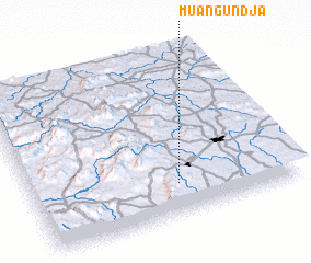 Places with similar names to Muangundja, Angola ::
Disclaimer :: Information on this page comes without warranty of any kind |
||
|
Where is Muangundja? Elevation and coordinates ::
Latitude (lat): 12°48'59"S Longitude (lon): 15°33'8"E
Elevation (approx.): 1727m (map arrows pan, magnifying glasses zoom) |
||
|
Visiting Muangundja? Hotel/Accommodation ::
Book a hotel in Muangundja Travel Guide ::
Buy a travel guide for Angola rental cars ::
car rental offers GPS waypoint ::
download a GPX waypoint (PoI) of Muangundja for your GPS receiver
|
||