|
search place name
|
||
Quioje (Malanje, Angola)Quioje is a town in the Malanje region of Angola. An overview map of the region around Quioje is displayed below.
regional and 3d topo map of Quioje, Angola ::

Quioje airports ::
The nearest airport is MEG - Malanje, located 4.4 km north of Quioje.
Other airports nearby include GXG - Negage (228.9 km north west), UGO - Uige (258.0 km north west), Nearby towns ::
Cacoloca (0.7km north west) //
Cangambo (1.3km east) //
NʼGolo (1.8km south east) //
Culamuxito (2.5km west) //
Luciano (2.8km north east) //
Candeno (3.0km north west) //
Machinde (3.0km east) //
Vasco (3.1km north east) //
Camalende (3.3km south west) //
Camisage (3.8km north west) //
Bumba (3.9km west) //
Paiol (4.8km east) //
Calundanga de Baixo (5.0km west) //
Calundanga de Cima (5.0km south west) //
Malanje (5.5km east) //
Quizanga (5.7km north) //
Guilar (5.9km south) //
Camissombo (5.9km south) //
A. Morais (6.0km north west) //
Calepa (6.1km east) //
Neves (6.3km east) //
Rio Cuango (6.4km north) //
Sebastião (6.5km west) //
Micolo (6.5km west) //
Canâmbua (6.8km east) //
Vulangombe de Cima (7.0km south west) //
Gindongo (7.2km south east) //
João Dias (7.6km south east) //
Carianga (7.8km south east) //
[all distances 'as the bird flies' and approximate] 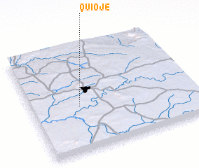 Places with similar names to Quioje, Angola ::
Disclaimer :: Information on this page comes without warranty of any kind |
||
|
Where is Quioje? Elevation and coordinates ::
Latitude (lat): 9°33'46"S Longitude (lon): 16°17'56"E
Elevation (approx.): 1113m (map arrows pan, magnifying glasses zoom) |
||
|
Visiting Quioje? Hotel/Accommodation ::
Book a hotel in Quioje Travel Guide ::
Buy a travel guide for Angola rental cars ::
car rental offers GPS waypoint ::
download a GPX waypoint (PoI) of Quioje for your GPS receiver
|
||