|
search place name
|
||
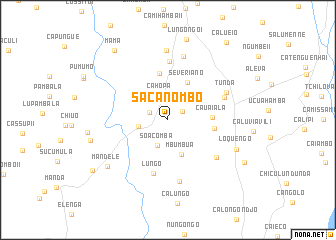
Sacanombo (Huambo, Angola)Sacanombo is a town in the Huambo region of Angola. An overview map of the region around Sacanombo is displayed below.
regional and 3d topo map of Sacanombo, Angola ::
Sacanombo airports ::
The nearest airport is NOV - Huambo, located 30.2 km north east of Sacanombo.
Other airports nearby include SVP - Kuito (163.6 km north east), SDD - Lubango (302.4 km south west), Nearby towns ::
Lilila (1.8km north east) //
Puacha (2.2km north west) //
Cahopa (2.9km north) //
Soacomba (3.1km south) //
Cangoti (3.3km west) //
Mbumbua (4.1km south) //
Ngumbe (4.2km north west) //
Severiano (4.7km north east) //
Cauaiala (4.8km east) //
Lumbandi Nova (5.1km east) //
Sipiti (5.3km north) //
Lungo (6.1km south) //
Calenguele II (6.6km north) //
Lumbandi Velho (6.7km south east) //
Cauaiala (6.7km east) //
Sá de Bandeira (7.0km south) //
Tunda (7.1km north east) //
Lungongo II (7.3km north) //
Calenguele I (7.8km north) //
Loquengo (8.2km south east) //
Mandele (8.4km south west) //
Lupili (8.8km west) //
Mâma (9.7km north west) //
Cacaca (9.6km south east) //
Ussissi (10.0km south west) //
Calueio (10.8km north east) //
[all distances 'as the bird flies' and approximate] 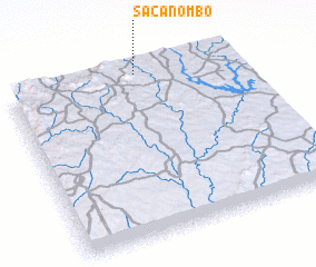 Places with similar names to Sacanombo, Angola ::
Disclaimer :: Information on this page comes without warranty of any kind |
||
|
Where is Sacanombo? Elevation and coordinates ::
Latitude (lat): 13°0'41"S Longitude (lon): 15°34'27"E
Elevation (approx.): 1723m (map arrows pan, magnifying glasses zoom) |
||
|
Visiting Sacanombo? Hotel/Accommodation ::
Book a hotel in Sacanombo Travel Guide ::
Buy a travel guide for Angola rental cars ::
car rental offers GPS waypoint ::
download a GPX waypoint (PoI) of Sacanombo for your GPS receiver
|
||