|
search place name
|
||
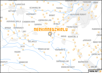
Nerkin Nedzhirlu (Ararat, Armenia)Nerkin Nedzhirlu is a town in the Ararat region of Armenia. An overview map of the region around Nerkin Nedzhirlu is displayed below.
regional and 3d topo map of Nerkin Nedzhirlu, Armenia ::
Nerkin Nedzhirlu airports ::
The nearest airport is VAN - Van, located 200.7 km south west of Nerkin Nedzhirlu.
Other airports nearby include TBZ - Tabriz Intl (268.2 km south east), Nearby towns ::
Sayatʼ-Nova (0.5km south east) //
Zorak (1.7km north) //
Shorlu (2.0km north) //
Nizami (1.9km north east) //
Sis (2.1km south) //
Sis (2.1km south) //
Dashtavan (2.7km north) //
Verin Nedzhirlu (2.2km east) //
Darbnik (3.6km north west) //
Ragimabad (3.4km north west) //
Darakert (3.7km north east) //
Ipakly (4.0km north east) //
Masis (3.9km east) //
Hayanist (4.9km north) //
Norabatsʼ (4.5km north east) //
Karakishlag (5.1km north) //
Khachʼpʼas (5.5km north) //
Sipʼanik (4.8km north west) //
Mekhmandar (4.6km north west) //
Ghukasavan (5.8km north) //
Hovtashat (5.0km north west) //
Rranchʼpar (6.1km south) //
Yengidzha (5.6km north east) //
Arbatʼ (6.7km north) //
Azatashen (6.7km north) //
Noramarg (6.6km south east) //
Posëlok Imeni Kalinina (7.1km south) //
Këlanlu (5.9km south west) //
Arevashat (7.4km north) //
[all distances 'as the bird flies' and approximate] 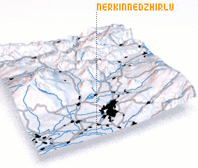 Places with similar names to Nerkin Nedzhirlu, Armenia :: Disclaimer :: Information on this page comes without warranty of any kind |
||
|
Where is Nerkin Nedzhirlu? Elevation and coordinates ::
Latitude (lat): 40°4'38"N Longitude (lon): 44°23'33"E
Elevation (approx.): 833m (map arrows pan, magnifying glasses zoom) |
||
|
Visiting Nerkin Nedzhirlu? Hotel/Accommodation ::
Book a hotel in Nerkin Nedzhirlu Travel Guide ::
Buy a travel guide for Armenia rental cars ::
car rental offers GPS waypoint ::
download a GPX waypoint (PoI) of Nerkin Nedzhirlu for your GPS receiver
|
||