|
search place name
|
||
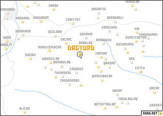
Dağyürd (Xocalı, Azerbaijan)Dağyürd is a town in the Xocalı region of Azerbaijan. An overview map of the region around Dağyürd is displayed below.
regional and 3d topo map of Dağyürd, Azerbaijan ::
Dağyürd airports ::
The nearest airport is TBZ - Tabriz Intl, located 185.7 km south of Dağyürd.
Nearby towns ::
Ağbulaq (2.6km north) //
Mavas (2.7km south east) //
Çağadüz (3.5km south) //
Şıx Dursun (3.6km south east) //
Xǝrxan (3.5km east) //
Gavahın (4.7km north) //
Xaçmaç (4.3km north west) //
Qarabulaq (4.0km south west) //
Bilbilyak (4.7km south east) //
Zavadykh (4.3km east) //
Arpadüzü (5.1km north east) //
Tukhnakal (5.5km south west) //
Taqaverd (6.3km south) //
Zǝrdanaşen (6.5km south) //
Qarqar (5.4km south east) //
Qırmızı Bazar (6.3km south east) //
Dǝmirçilǝr (5.6km west) //
Moşxmhat (6.3km south west) //
Aşağı Yemişcan (5.8km west) //
Mǝdǝdkǝnd (6.0km south west) //
Verin Sıznek (6.1km west) //
Qızıloba (7.0km north west) //
Cǝmiyyǝt (8.1km north) //
Çanaqçı (6.8km west) //
Kǝndxurd (7.9km north east) //
Müşkapat (8.4km north east) //
Qaradağlı (10.2km north east) //
Şǝkǝr (10.5km south east) //
[all distances 'as the bird flies' and approximate] 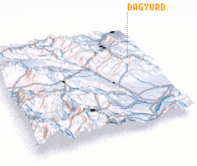 Places with similar names to Dağyürd, Azerbaijan ::
Disclaimer :: Information on this page comes without warranty of any kind |
||
|
Where is Dağyürd? Elevation and coordinates ::
Latitude (lat): 39°43'20"N Longitude (lon): 46°54'20"E
Elevation (approx.): 1054m (map arrows pan, magnifying glasses zoom) |
||
|
Visiting Dağyürd? Hotel/Accommodation ::
Book a hotel in Dağyürd Travel Guide ::
Buy a travel guide for Azerbaijan rental cars ::
car rental offers GPS waypoint ::
download a GPX waypoint (PoI) of Dağyürd for your GPS receiver
|
||