|
search place name
|
||
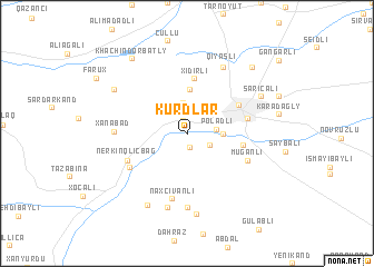
Kürdlǝr (Ağdam, Azerbaijan)Kürdlǝr is a town in the Ağdam region of Azerbaijan. An overview map of the region around Kürdlǝr is displayed below.
regional and 3d topo map of Kürdlǝr, Azerbaijan ::
Kürdlǝr airports ::
The nearest airport is TBZ - Tabriz Intl, located 211.1 km south of Kürdlǝr.
Nearby towns ::
Şelli (1.3km south) //
Akhmedavar (1.3km north) //
Qasımlı (2.1km south east) //
Sarıhacılı (2.7km north east) //
Poladlı (2.4km east) //
Çuxurmǝhlǝ (3.1km north) //
Muradbeyli (2.8km east) //
Daşbaşı (4.5km north) //
Xıdırlı (5.5km north) //
Sıxbabalı (4.5km east) //
Ağdam (5.0km north east) //
Pǝrioğlular (4.9km east) //
Əsgǝran (5.4km south west) //
Muğanlı (5.3km south east) //
Nerkin Qlıçbağ (5.4km south west) //
Naxçıvanlı (6.6km south) //
Pircamal (7.4km south) //
Xanabad (5.7km west) //
Qiyaslı (7.2km north) //
Xocalı (7.5km south) //
Aranzǝmin (8.1km south) //
Ağgǝdik (7.7km south west) //
Sarıcalı (6.8km north east) //
Xramort (7.1km north west) //
Khachindorbatly (8.5km north west) //
Ətyemǝzli (8.3km north east) //
[all distances 'as the bird flies' and approximate] 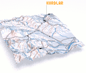 Places with similar names to Kürdlǝr, Azerbaijan ::
Disclaimer :: Information on this page comes without warranty of any kind |
||
|
Where is Kürdlǝr? Elevation and coordinates ::
Latitude (lat): 39°58'0"N Longitude (lon): 46°53'0"E
Elevation (approx.): 436m (map arrows pan, magnifying glasses zoom) |
||
|
Visiting Kürdlǝr? Hotel/Accommodation ::
Book a hotel in Kürdlǝr Travel Guide ::
Buy a travel guide for Azerbaijan rental cars ::
car rental offers GPS waypoint ::
download a GPX waypoint (PoI) of Kürdlǝr for your GPS receiver
|
||