|
search place name
|
||
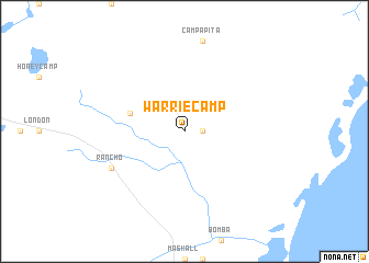
Warrie Camp (Orange Walk, Belize)Warrie Camp is a town in the Orange Walk region of Belize. An overview map of the region around Warrie Camp is displayed below.
regional and 3d topo map of Warrie Camp, Belize ::
Warrie Camp airports ::
The nearest airport is BZE - Belize City Philip S W Goldson Intl, located 49.2 km south of Warrie Camp.
Other airports nearby include CTM - Chetumal Intl (57.8 km north), RTB - Roatan Juan Manuel Galvez Intl (264.1 km south east), Nearby towns ::
San Juan Bank (1.8km east) //
Xcanha (5.6km west) //
Rancho (8.0km south west) //
[all distances 'as the bird flies' and approximate] 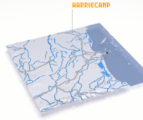 Places with similar names to Warrie Camp, Belize ::
// Wehrkamp (DE)
Disclaimer :: Information on this page comes without warranty of any kind |
||
|
Where is Warrie Camp? Elevation and coordinates ::
Latitude (lat): 17°59'0"N Longitude (lon): 88°18'0"W
Elevation (approx.): 6m (map arrows pan, magnifying glasses zoom) |
||
|
Visiting Warrie Camp? Hotel/Accommodation ::
Book a hotel in Warrie Camp Travel Guide ::
Buy a travel guide for Belize rental cars ::
car rental offers GPS waypoint ::
download a GPX waypoint (PoI) of Warrie Camp for your GPS receiver
|
||