|
search place name
|
||
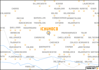
Ichumoco (Potosí, Bolivia)Ichumoco is a town in the Potosí region of Bolivia. An overview map of the region around Ichumoco is displayed below.
regional and 3d topo map of Ichumoco, Bolivia ::
Ichumoco airports ::
The nearest airport is TJA - Tarija Capitan Oriel Lea Plaza, located 134.8 km east of Ichumoco.
Other airports nearby include POI - Potosi Capitan Nicolas Rojas (186.8 km north), BJO - Bermejo (241.4 km south east), ORA - Oran (271.8 km south east), Nearby towns ::
Volcán (1.9km south) //
Llamahuanisca (1.9km south) //
Monterani (1.7km east) //
Calliri (2.5km north west) //
Chaspuyoc (3.9km south west) //
Chochoca (4.1km south east) //
Tres Palcas (5.1km north west) //
Catuana (5.1km north east) //
Chacllocayo (5.5km east) //
Querhuinto (5.8km south) //
Quirusillas (6.5km north west) //
Chalviri (6.5km north west) //
Oqueoque (6.5km north west) //
Chaquiciénega (6.5km north east) //
Sehuincacoyoc (7.4km south) //
Padrehuañusca (6.9km east) //
Huguiraguasi (7.2km west) //
Molino (7.6km north) //
Anahuna (7.6km south west) //
Oro Ingenio (8.2km south east) //
Vila Vila (9.0km south east) //
Calama (8.9km south west) //
Chunqui (8.9km south east) //
Peñablanca (10.1km south east) //
Melinacasa (10.1km north east) //
[all distances 'as the bird flies' and approximate] 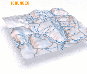 Places with similar names to Ichumoco, Bolivia ::
Disclaimer :: Information on this page comes without warranty of any kind |
||
|
Where is Ichumoco? Elevation and coordinates ::
Latitude (lat): 21°13'0"S Longitude (lon): 65°57'0"W
Elevation (approx.): 3811m (map arrows pan, magnifying glasses zoom) |
||
|
Visiting Ichumoco? Hotel/Accommodation ::
Book a hotel in Ichumoco Travel Guide ::
Buy a travel guide for Bolivia rental cars ::
car rental offers GPS waypoint ::
download a GPX waypoint (PoI) of Ichumoco for your GPS receiver
|
||