|
search place name
|
||
Jucumari (Chuquisaca, Bolivia)Jucumari is a town in the Chuquisaca region of Bolivia. An overview map of the region around Jucumari is displayed below.
regional and 3d topo map of Jucumari, Bolivia ::

Jucumari airports ::
The nearest airport is SRE - Sucre Juana Azurduy De Padilla, located 181.1 km north west of Jucumari.
Other airports nearby include POI - Potosi Capitan Nicolas Rojas (204.2 km west), TJA - Tarija Capitan Oriel Lea Plaza (212.6 km south west), Nearby towns ::
Vallecito (2.5km south west) //
Piraomonto (3.7km south) //
Baerepoti (3.9km south west) //
Allangua (5.1km north east) //
Cruz Pampa (5.1km south west) //
Tururumba (5.6km north) //
Lagunillitas (5.5km west) //
Vaca Guzman (7.6km south east) //
Matará (8.2km north east) //
[all distances 'as the bird flies' and approximate] 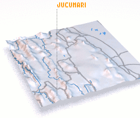 Places with similar names to Jucumari, Bolivia ::
// Jugomirë (AL)
// Gicumboro (BI)
// Gikomora (KE)
// Gikomero (RW)
// João Câmara (BR)
// Juqmuri (GE)
// Gikambura (KE)
// Jūgomori (JP)
// Joaquim Bor (GW)
Disclaimer :: Information on this page comes without warranty of any kind |
||
|
Where is Jucumari? Elevation and coordinates ::
Latitude (lat): 19°50'0"S Longitude (lon): 63°48'0"W
Elevation (approx.): 1176m (map arrows pan, magnifying glasses zoom) |
||
|
Visiting Jucumari? Hotel/Accommodation ::
Book a hotel in Jucumari Travel Guide ::
Buy a travel guide for Bolivia rental cars ::
car rental offers GPS waypoint ::
download a GPX waypoint (PoI) of Jucumari for your GPS receiver
|
||