|
search place name
|
||
Sillar Cuesta (Potosí, Bolivia)Sillar Cuesta is a town in the Potosí region of Bolivia. An overview map of the region around Sillar Cuesta is displayed below.
regional and 3d topo map of Sillar Cuesta, Bolivia ::

Sillar Cuesta airports ::
The nearest airport is TJA - Tarija Capitan Oriel Lea Plaza, located 141.6 km east of Sillar Cuesta.
Other airports nearby include POI - Potosi Capitan Nicolas Rojas (176.3 km north), BJO - Bermejo (251.8 km south east), Nearby towns ::
Vuelta Grande (0.0km north) //
Churquirni (2.5km north east) //
Piedra Blanca (2.5km north east) //
Ayala (2.5km north west) //
Chaupiloma (3.5km east) //
Piedra Blanca (4.1km north east) //
Oqueoque (5.6km south) //
Chalviri (5.6km south) //
Quirusillas (5.6km south) //
Millok Punta (5.5km east) //
Molino (6.4km south east) //
Telucayo (6.5km north east) //
Tres Palcas (7.4km south) //
Azerón (6.9km east) //
Mojonloma (7.2km east) //
Abra Calacruz (8.2km north east) //
Huaca Cancha (9.0km south west) //
Aserani (8.9km north east) //
Cerro Negro (8.9km north east) //
Chaquiciénega (8.9km south east) //
Paccha (8.9km south west) //
Catuana (10.1km south east) //
[all distances 'as the bird flies' and approximate] 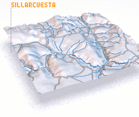 Places with similar names to Sillar Cuesta, Bolivia :: Disclaimer :: Information on this page comes without warranty of any kind |
||
|
Where is Sillar Cuesta? Elevation and coordinates ::
Latitude (lat): 21°7'0"S Longitude (lon): 65°59'0"W
Elevation (approx.): 4184m (map arrows pan, magnifying glasses zoom) |
||
|
Visiting Sillar Cuesta? Hotel/Accommodation ::
Book a hotel in Sillar Cuesta Travel Guide ::
Buy a travel guide for Bolivia rental cars ::
car rental offers GPS waypoint ::
download a GPX waypoint (PoI) of Sillar Cuesta for your GPS receiver
|
||