|
search place name
|
||
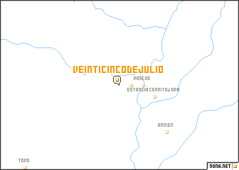
Veinticinco de Julio (Santa Cruz, Bolivia)Veinticinco de Julio is a town in the Santa Cruz region of Bolivia. An overview map of the region around Veinticinco de Julio is displayed below.
regional and 3d topo map of Veinticinco de Julio, Bolivia ::
Veinticinco de Julio airports ::
The nearest airport is PSZ - Puerto Suarez Tte De Av Salvador Ogaya G, located 96.9 km north east of Veinticinco de Julio.
Other airports nearby include CMG - Corumba Intl (101.7 km north east), Nearby towns ::
Isla Cuatro (1.7km east) //
Pascoe (3.5km east) //
Estancia Cerrito Jara (5.6km east) //
Castrillo (5.6km west) //
Arrien (10.2km south east) //
[all distances 'as the bird flies' and approximate] 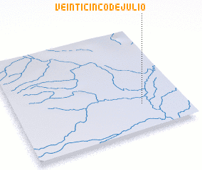 Places with similar names to Veinticinco de Julio, Bolivia :: Disclaimer :: Information on this page comes without warranty of any kind |
||
|
Where is Veinticinco de Julio? Elevation and coordinates ::
Latitude (lat): 19°45'0"S Longitude (lon): 58°15'0"W
Elevation (approx.): 80m (map arrows pan, magnifying glasses zoom) |
||
|
Visiting Veinticinco de Julio? Hotel/Accommodation ::
Book a hotel in Veinticinco de Julio Travel Guide ::
Buy a travel guide for Bolivia rental cars ::
car rental offers GPS waypoint ::
download a GPX waypoint (PoI) of Veinticinco de Julio for your GPS receiver
|
||