|
search place name
|
||
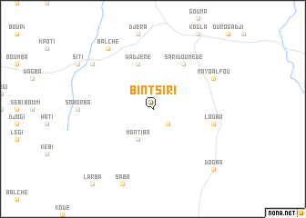
Bintsiri (Cameroon)Bintsiri is a town in Cameroon. An overview map of the region around Bintsiri is displayed below.
regional and 3d topo map of Bintsiri, Cameroon ::
Bintsiri airports ::
The nearest airport is GOU - Garoua, located 101.1 km north of Bintsiri.
Other airports nearby include NGE - N'gaoundere Ngaoundere (119.1 km south), YOL - Yola (150.3 km north west), Nearby towns ::
Sari Manga (2.6km south east) //
Mantiba (4.1km south west) //
Wadjéré (5.9km north) //
Sari Doumédé (6.7km north east) //
Lagba (7.6km east) //
Mayo Alfou (8.2km north east) //
Pintchoumba (9.2km north west) //
Balché (9.2km north west) //
Dogba (10.4km south east) //
[all distances 'as the bird flies' and approximate] 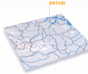 Places with similar names to Bintsiri, Cameroon ::
// Ban Tao Sura (TH)
// Bendzary (UA)
// Band-e Sar (IR)
// Band-e Sar (IR)
// Band Sar (IR)
// Band Sar (IR)
// Band Sarī (IR)
// Bantasar (BD)
// Bandéssar (BJ)
// Bendosari (ID)
Disclaimer :: Information on this page comes without warranty of any kind |
||
|
Where is Bintsiri? Elevation and coordinates ::
Latitude (lat): 8°26'0"N Longitude (lon): 13°31'0"E
Elevation (approx.): 399m (map arrows pan, magnifying glasses zoom) |
||
|
Visiting Bintsiri? Hotel/Accommodation ::
Book a hotel in Bintsiri Travel Guide ::
Buy a travel guide for Cameroon rental cars ::
car rental offers GPS waypoint ::
download a GPX waypoint (PoI) of Bintsiri for your GPS receiver
|
||