|
search place name
|
||
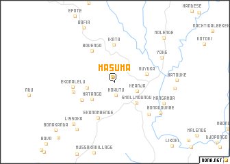
Masuma (South-West, Cameroon)Masuma is a town in the South-West region of Cameroon. An overview map of the region around Masuma is displayed below.
regional and 3d topo map of Masuma, Cameroon ::
Masuma airports ::
The nearest airport is TKC - Tiko, located 21.8 km south of Masuma.
Other airports nearby include DLA - Douala (50.6 km south east), SSG - Malabo (93.1 km south west), CBQ - Calabar (135.8 km north west), BFX - Bafoussam (177.0 km north east), Nearby towns ::
Mowutu (2.1km south) //
Owe (2.5km north east) //
Meanja (3.9km east) //
Balungu (4.6km west) //
Matango (4.7km south west) //
Small Moundu (4.9km south east) //
Muyuka (5.3km east) //
Ikata (6.1km north) //
Mundame (6.1km south west) //
Bavenga (6.3km north west) //
Ekona Mbenge (6.5km south west) //
Ekona Lelu (6.9km west) //
Mangundu (7.0km west) //
Mpundu (7.7km south east) //
Yoke (8.6km north east) //
Mangamba (8.7km south east) //
Bonadoumbe (9.0km south east) //
Lissoka (9.6km south west) //
Mamu (10.0km south west) //
Bafia (10.2km north west) //
Malende (10.8km north east) //
[all distances 'as the bird flies' and approximate] 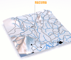 Places with similar names to Masuma, Cameroon ::
Disclaimer :: Information on this page comes without warranty of any kind |
||
|
Where is Masuma? Elevation and coordinates ::
Latitude (lat): 4°17'10"N Longitude (lon): 9°21'33"E
Elevation (approx.): 158m (map arrows pan, magnifying glasses zoom) |
||
|
Visiting Masuma? Hotel/Accommodation ::
Book a hotel in Masuma Travel Guide ::
Buy a travel guide for Cameroon rental cars ::
car rental offers GPS waypoint ::
download a GPX waypoint (PoI) of Masuma for your GPS receiver
|
||