|
search place name
|
||
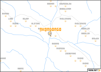
Nkondongo (Cameroon)Nkondongo is a town in Cameroon. An overview map of the region around Nkondongo is displayed below.
regional and 3d topo map of Nkondongo, Cameroon ::
Nkondongo airports ::
The nearest airport is BMM - Bitam, located 65.5 km south west of Nkondongo.
Other airports nearby include OYE - Oyem (119.9 km south), YAO - Yaounde Ville (136.8 km north), BSG - Bata (228.4 km west), Nearby towns ::
Néléjoup (0.0km north) //
Méboo (1.9km north) //
Mvangane (1.9km north) //
Bikong (1.9km east) //
Yem (2.6km north west) //
Akok (4.1km north west) //
Adjap (4.1km north west) //
Awoané (4.1km south east) //
Alotomé (6.7km north west) //
Nkongou (6.7km south east) //
Nkoléniong (7.9km north east) //
Assok (7.9km south east) //
Ondondo (8.3km north west) //
Zoébéfamé (10.5km south east) //
Adoum (10.5km south east) //
[all distances 'as the bird flies' and approximate] 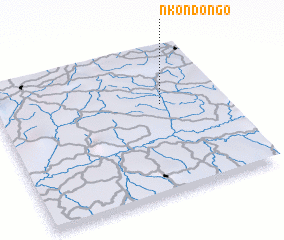 Places with similar names to Nkondongo, Cameroon ::
// Ngandaung (MM)
// Ngandaung (MM)
// Ngandang (ID)
// Ngantang (ID)
// Naegon-dong (KP)
// Naegŏnnŏ-dong (KP)
// Ngandong (ID)
// Ngọn Ðông (VN)
// Nkondongo (CM)
// Nacandiango (AO)
Disclaimer :: Information on this page comes without warranty of any kind |
||
|
Where is Nkondongo? Elevation and coordinates ::
Latitude (lat): 2°37'0"N Longitude (lon): 11°44'0"E
Elevation (approx.): 589m (map arrows pan, magnifying glasses zoom) |
||
|
Visiting Nkondongo? Hotel/Accommodation ::
Book a hotel in Nkondongo Travel Guide ::
Buy a travel guide for Cameroon rental cars ::
car rental offers GPS waypoint ::
download a GPX waypoint (PoI) of Nkondongo for your GPS receiver
|
||