|
search place name
|
||
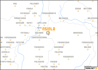
Nsinla (Cameroon)Nsinla is a town in Cameroon. An overview map of the region around Nsinla is displayed below.
regional and 3d topo map of Nsinla, Cameroon ::
Nsinla airports ::
The nearest airport is BFX - Bafoussam, located 29.8 km east of Nsinla.
Other airports nearby include BPC - Bamenda (65.2 km north), FOM - Foumban Nkounja (75.0 km east), DLA - Douala (165.2 km south), TKC - Tiko (171.4 km south west), Nearby towns ::
Nzinfon (1.9km north) //
Bafou (2.6km north east) //
Dschang (3.7km west) //
Foto (4.1km north west) //
Foreké Dschang (4.1km south west) //
Leng (4.1km north west) //
Lefè (5.2km north west) //
Fokouenki (6.7km south west) //
Doumbouo (6.7km south east) //
Fokamezoun (6.7km south east) //
Fo Nou Saamaya (7.4km north) //
Baleveng (7.8km north east) //
Mefet (8.3km north west) //
Levoni (8.3km north west) //
Folefok (8.3km south east) //
Long (9.3km north west) //
[all distances 'as the bird flies' and approximate] 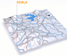
Disclaimer :: Information on this page comes without warranty of any kind |
||
|
Where is Nsinla? Elevation and coordinates ::
Latitude (lat): 5°27'0"N Longitude (lon): 10°6'0"E
Elevation (approx.): 1492m (map arrows pan, magnifying glasses zoom) |
||
|
Visiting Nsinla? Hotel/Accommodation ::
Book a hotel in Nsinla Travel Guide ::
Buy a travel guide for Cameroon rental cars ::
car rental offers GPS waypoint ::
download a GPX waypoint (PoI) of Nsinla for your GPS receiver
|
||