|
search place name
|
||
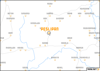
Pes Lipan (Cameroon)Pes Lipan is a town in Cameroon. An overview map of the region around Pes Lipan is displayed below.
regional and 3d topo map of Pes Lipan, Cameroon ::
Pes Lipan airports ::
The nearest airport is YAO - Yaounde Ville, located 90.1 km east of Pes Lipan.
Other airports nearby include DLA - Douala (111.2 km west), TKC - Tiko (151.8 km west), BFX - Bafoussam (183.6 km north), FOM - Foumban Nkounja (190.3 km north), Nearby towns ::
Song Nlend (2.6km north west) //
Sombo (4.1km south west) //
Ndoupé (5.2km south west) //
Mom (5.9km north) //
Minomijok (6.7km north west) //
Dikonop (6.7km north east) //
Maholé (6.7km south east) //
Dibang (7.4km north) //
Boga (7.6km east) //
Bomb (10.5km north east) //
[all distances 'as the bird flies' and approximate] 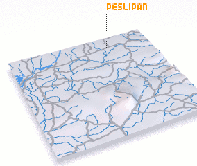 Places with similar names to Pes Lipan, Cameroon ::
// Pęsy Lipno (PL)
// Pęsy-Lipno (PL)
Disclaimer :: Information on this page comes without warranty of any kind |
||
|
Where is Pes Lipan? Elevation and coordinates ::
Latitude (lat): 3°55'0"N Longitude (lon): 10°43'0"E
Elevation (approx.): 233m (map arrows pan, magnifying glasses zoom) |
||
|
Visiting Pes Lipan? Hotel/Accommodation ::
Book a hotel in Pes Lipan Travel Guide ::
Buy a travel guide for Cameroon rental cars ::
car rental offers GPS waypoint ::
download a GPX waypoint (PoI) of Pes Lipan for your GPS receiver
|
||