|
search place name
|
||
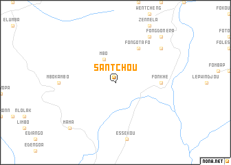
Santchou (Cameroon)Santchou is a town in Cameroon. An overview map of the region around Santchou is displayed below.
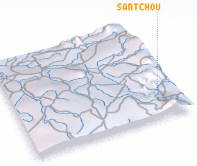
regional and 3d topo map of Santchou, Cameroon ::
Santchou airports ::
The nearest airport is BFX - Bafoussam, located 56.8 km north east of Santchou.
Other airports nearby include BPC - Bamenda (85.4 km north), FOM - Foumban Nkounja (101.4 km east), DLA - Douala (144.5 km south), TKC - Tiko (146.7 km south west), Nearby towns ::
 Places with similar names to Santchou, Cameroon ::
// Sundo-Ucha (RU)
// Sun Tech (US)
// Žindaičiai (LT)
// Sandiche (ES)
// Santosh (BD)
// Santoshi (BD)
// Santash (KG)
// Syn-Tash (KG)
// Santoche (FR)
// Sandushui (CN)
Disclaimer :: Information on this page comes without warranty of any kind |
||
|
Where is Santchou? Elevation and coordinates ::
Latitude (lat): 5°18'0"N Longitude (lon): 9°54'0"E
Elevation (approx.): 748m (map arrows pan, magnifying glasses zoom) |
||
|
Visiting Santchou? Hotel/Accommodation ::
Book a hotel in Santchou Travel Guide ::
Buy a travel guide for Cameroon rental cars ::
car rental offers GPS waypoint ::
download a GPX waypoint (PoI) of Santchou for your GPS receiver
|
||