|
search place name
|
||
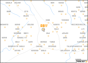
Ābīy (Ethiopia)Ābīy is a town in Ethiopia. An overview map of the region around Ābīy is displayed below.
regional and 3d topo map of Ābīy, Ethiopia ::
Ābīy airports ::
The nearest airport is ADD - Addis Ababa Bole Intl, located 70.5 km east of Ābīy.
Other airports nearby include JIM - Jimma (216.0 km south west), Nearby towns ::
Chʼanchʼo (2.6km south east) //
Gajī (2.6km south east) //
Lafa (3.7km east) //
Kʼeba (4.1km north east) //
Shono (5.2km north east) //
Mulo (5.5km east) //
Berodo (5.6km south) //
Ārēra (5.8km west) //
Chʼīlīmo (5.8km west) //
Galēsa (5.8km west) //
Kusayē (5.8km east) //
Gīnchʼī (5.9km south) //
Legebatu (6.7km south east) //
Yubdo (6.7km south east) //
Danīsa (7.6km east) //
Chʼīlīmo (7.6km south) //
Gībē (7.6km south) //
Ābeyī (7.6km west) //
Gura (7.8km south west) //
Āfe Nigus (8.3km south east) //
Īlīlan Goro (8.2km north east) //
Garē (8.2km south west) //
Bejro (9.2km north west) //
Badus (10.4km north east) //
Īnto (10.4km north west) //
[all distances 'as the bird flies' and approximate] 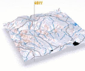 Places with similar names to Ābīy, Ethiopia ::
Disclaimer :: Information on this page comes without warranty of any kind |
||
|
Where is Ābīy? Elevation and coordinates ::
Latitude (lat): 9°5'0"N Longitude (lon): 38°10'0"E
Elevation (approx.): 2824m (map arrows pan, magnifying glasses zoom) |
||
|
Visiting Ābīy? Hotel/Accommodation ::
Book a hotel in Ābīy Travel Guide ::
Buy a travel guide for Ethiopia rental cars ::
car rental offers GPS waypoint ::
download a GPX waypoint (PoI) of Ābīy for your GPS receiver
|
||