|
search place name
|
||
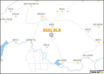
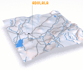
Ādulala (Ethiopia)Ādulala is a town in Ethiopia. An overview map of the region around Ādulala is displayed below.
regional and 3d topo map of Ādulala, Ethiopia ::
Ādulala airports ::
The nearest airport is ADD - Addis Ababa Bole Intl, located 77.6 km north west of Ādulala.
Nearby towns ::
 Places with similar names to Ādulala, Ethiopia ::
// Aouid Ellèl (TD)
// At Tulūl (SY)
// At Tulayl (LB)
// Aït Ali Ou Allah (MA)
// Aït Lil (MA)
// Aït Lahlou (MA)
// Aït Oualil (MA)
// Aït Illoul (MA)
// Adi Alele (ET)
// Aït Ahlal (DZ)
Disclaimer :: Information on this page comes without warranty of any kind |
||
|
Where is Ādulala? Elevation and coordinates ::
Latitude (lat): 8°29'0"N Longitude (lon): 39°18'0"E
Elevation (approx.): 1669m (map arrows pan, magnifying glasses zoom) |
||
|
Visiting Ādulala? Hotel/Accommodation ::
Book a hotel in Ādulala Travel Guide ::
Buy a travel guide for Ethiopia rental cars ::
car rental offers GPS waypoint ::
download a GPX waypoint (PoI) of Ādulala for your GPS receiver
|
||