|
search place name
|
||
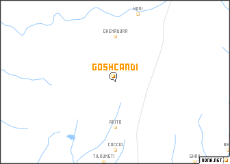
Goshcandi (Ethiopia)Goshcandi is a town in Ethiopia. An overview map of the region around Goshcandi is displayed below.
regional and 3d topo map of Goshcandi, Ethiopia ::
Goshcandi airports ::
The nearest airport is GMB - Gambella, located 118.4 km north west of Goshcandi.
Other airports nearby include JIM - Jimma (166.7 km east), Nearby towns ::
Manta Bacci (7.4km south) //
Arito (7.4km south) //
Ghemadura (7.4km north) //
[all distances 'as the bird flies' and approximate] 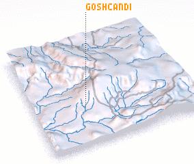 Places with similar names to Goshcandi, Ethiopia ::
// Koshkent (RU)
// Kachhgund (IN)
// Kūch Kandī (IR)
// Qūchī Kandī (IR)
// Qūch Kandī (IR)
// Qūsheh Kand (IR)
// Koshkent (TJ)
// Càchigunde (MZ)
Disclaimer :: Information on this page comes without warranty of any kind |
||
|
Where is Goshcandi? Elevation and coordinates ::
Latitude (lat): 7°23'0"N Longitude (lon): 35°20'0"E
Elevation (approx.): 2201m (map arrows pan, magnifying glasses zoom) |
||
|
Visiting Goshcandi? Hotel/Accommodation ::
Book a hotel in Goshcandi Travel Guide ::
Buy a travel guide for Ethiopia rental cars ::
car rental offers GPS waypoint ::
download a GPX waypoint (PoI) of Goshcandi for your GPS receiver
|
||