|
search place name
|
||
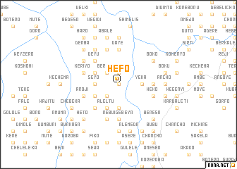
Hēfo (Ethiopia)Hēfo is a town in Ethiopia. An overview map of the region around Hēfo is displayed below.
regional and 3d topo map of Hēfo, Ethiopia ::
Hēfo airports ::
The nearest airport is ADD - Addis Ababa Bole Intl, located 46.2 km south of Hēfo.
Other airports nearby include JIM - Jimma (281.2 km south west), Nearby towns ::
Tulu Jubo (0.0km north) //
Ferkʼoma (1.9km north) //
Becho (2.6km south west) //
Berēsa (2.6km north west) //
Yeka (3.7km east) //
Gara Babu (3.7km south) //
Werem (3.7km south) //
Seyo (3.7km west) //
Līlo (4.1km south west) //
Kīrara (4.1km south west) //
Āleltu (4.1km south west) //
Gara Āba Īya (4.1km north west) //
Bechʼekʼī (4.1km north west) //
Kʼīltʼu (4.1km north west) //
Ālbuna (5.2km south west) //
Gulolē (5.2km north west) //
Deyu (5.2km north west) //
Tʼedecho (5.5km east) //
Mētʼī (5.6km north) //
Dayē (5.6km north) //
Rebuʼi Gebeya (5.6km south) //
Hēko (5.8km east) //
Ārojī (5.8km west) //
Tulu Lemī (5.9km north) //
Gulelē (5.9km north) //
Mulo (5.9km south) //
Kʼerīyo (5.8km west) //
Chʼefē Āba Gowē (6.7km north west) //
Bokʼo (6.6km north east) //
[all distances 'as the bird flies' and approximate] 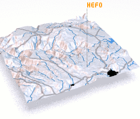 Places with similar names to Hēfo, Ethiopia ::
Disclaimer :: Information on this page comes without warranty of any kind |
||
|
Where is Hēfo? Elevation and coordinates ::
Latitude (lat): 9°23'0"N Longitude (lon): 38°42'0"E
Elevation (approx.): 2499m (map arrows pan, magnifying glasses zoom) |
||
|
Visiting Hēfo? Hotel/Accommodation ::
Book a hotel in Hēfo Travel Guide ::
Buy a travel guide for Ethiopia rental cars ::
car rental offers GPS waypoint ::
download a GPX waypoint (PoI) of Hēfo for your GPS receiver
|
||