|
search place name
|
||
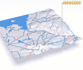
Jaragedo (Ethiopia)Jaragedo is a town in Ethiopia. An overview map of the region around Jaragedo is displayed below.
regional and 3d topo map of Jaragedo, Ethiopia ::

Jaragedo airports ::
The nearest airport is BJR - Bahar Dar Bahir Dar, located 65.5 km west of Jaragedo.
Other airports nearby include GDQ - Gondar (133.2 km north), LLI - Lalibella (135.4 km north east), Nearby towns ::
 Places with similar names to Jaragedo, Ethiopia ::
// Giurgiţa (RO)
// Giurgiuţ (RO)
// Georgida (ZA)
// Geregidī (ET)
// Gerjēda (ET)
// Girgitti (IN)
// Girijati (ID)
// Jūr Jādeh (IR)
// Jauro Jaudi (NG)
// Jauro Joda (NG)
Disclaimer :: Information on this page comes without warranty of any kind |
||
|
Where is Jaragedo? Elevation and coordinates ::
Latitude (lat): 11°24'0"N Longitude (lon): 37°53'0"E
Elevation (approx.): 2411m (map arrows pan, magnifying glasses zoom) |
||
|
Visiting Jaragedo? Hotel/Accommodation ::
Book a hotel in Jaragedo Travel Guide ::
Buy a travel guide for Ethiopia rental cars ::
car rental offers GPS waypoint ::
download a GPX waypoint (PoI) of Jaragedo for your GPS receiver
|
||