|
search place name
|
||
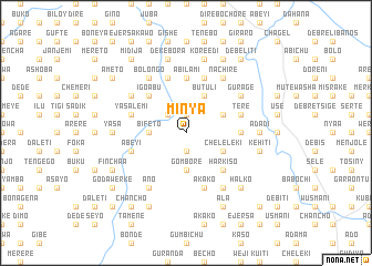
Mīnya (Ethiopia)Mīnya is a town in Ethiopia. An overview map of the region around Mīnya is displayed below.
regional and 3d topo map of Mīnya, Ethiopia ::
Mīnya airports ::
The nearest airport is ADD - Addis Ababa Bole Intl, located 72.9 km south of Mīnya.
Other airports nearby include BJR - Bahar Dar Bahir Dar (267.5 km north west), JIM - Jimma (303.0 km south west), Nearby towns ::
Sadīnī Bīyo (1.9km south) //
Hārbu (1.9km north) //
Sonē (1.9km north) //
Kīro (2.6km north west) //
Tulu Bolo (3.7km west) //
Dīma (3.7km west) //
Bīfeto (3.7km west) //
Gomborē (3.7km south) //
Chʼelelekʼī (4.1km south east) //
Butʼulī (4.1km north east) //
Jijiga (4.1km north east) //
Muke Dēra (4.1km north east) //
Īgo Ābu (5.2km north west) //
Hārkīso (5.2km south east) //
Ābīlamī (5.6km north) //
Gulubī (5.6km north) //
Gololē (5.5km east) //
Ābeyī (5.8km west) //
Girar (5.9km north) //
Īta (5.9km north) //
Yasa Lemī (5.8km west) //
Merechʼē (5.9km north) //
Ākako (5.9km south) //
Deyu (5.9km south) //
Gumbīchu (5.9km south) //
Tʼerē (5.8km east) //
Bolongo (6.7km north west) //
Āno (6.7km south west) //
Kʼerē Yasa (6.7km south west) //
[all distances 'as the bird flies' and approximate] 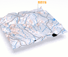 Places with similar names to Mīnya, Ethiopia ::
Disclaimer :: Information on this page comes without warranty of any kind |
||
|
Where is Mīnya? Elevation and coordinates ::
Latitude (lat): 9°38'0"N Longitude (lon): 38°44'0"E
Elevation (approx.): 2628m (map arrows pan, magnifying glasses zoom) |
||
|
Visiting Mīnya? Hotel/Accommodation ::
Book a hotel in Mīnya Travel Guide ::
Buy a travel guide for Ethiopia rental cars ::
car rental offers GPS waypoint ::
download a GPX waypoint (PoI) of Mīnya for your GPS receiver
|
||