|
search place name
|
||
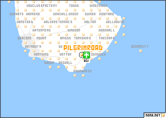
Pilgrim Road (Christ Church, Barbados)Pilgrim Road is a town in the Christ Church region of Barbados. An overview map of the region around Pilgrim Road is displayed below.
regional and 3d topo map of Pilgrim Road, Barbados ::
Pilgrim Road airports ::
The nearest airport is BGI - Bridgetown Grantley Adams Intl, located 1.2 km north east of Pilgrim Road.
Other airports nearby include UVF - Hewandorra Hewanorra Intl (173.8 km north west), MQS - Mustique (183.4 km west), SVD - Kingstown E T Joshua (185.7 km west), SLU - Castries George F L Charles (193.0 km north west), Nearby towns ::
Inch Marlowe (0.0km north) //
Fairy Valley (0.0km north) //
Chancery Lane (0.0km north) //
Packers (1.9km north) //
Searles (1.9km north) //
Lead Vale (1.9km north) //
Sion Hill (1.9km north) //
Fairview (1.9km north) //
Charnocks (1.9km north) //
Fairy Valley Rock (1.9km south) //
Silver Sands (1.9km south) //
Wilcox (1.9km south) //
Seaview (1.9km south) //
Ealing Grove (1.9km south) //
Paragon (1.8km east) //
Parish Land (1.8km west) //
Pilgrim Place (1.8km west) //
Callendar (1.8km west) //
Providence (1.8km west) //
Walronds (2.6km north east) //
Lowthers (2.6km north east) //
Woodbourne (2.6km north east) //
Lowland (2.6km north west) //
Coverly (2.6km north east) //
Gibbons (2.6km south west) //
Hopewell (2.6km south west) //
Sayes Court (2.6km south west) //
Goodland (2.6km south west) //
Searles (3.7km north) //
[all distances 'as the bird flies' and approximate] 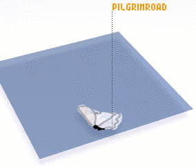 Places with similar names to Pilgrim Road, Barbados :: Disclaimer :: Information on this page comes without warranty of any kind |
||
|
Where is Pilgrim Road? Elevation and coordinates ::
Latitude (lat): 13°4'0"N Longitude (lon): 59°30'0"W
Elevation (approx.): 19m (map arrows pan, magnifying glasses zoom) |
||
|
Visiting Pilgrim Road? Hotel/Accommodation ::
Book a hotel in Pilgrim Road Travel Guide ::
Buy a travel guide for Barbados rental cars ::
car rental offers GPS waypoint ::
download a GPX waypoint (PoI) of Pilgrim Road for your GPS receiver
|
||