|
search place name
|
||
Phumĭ Kbal Sâr (Siĕm Réab, Cambodia)Phumĭ Kbal Sâr is a town in the Siĕm Réab region of Cambodia. An overview map of the region around Phumĭ Kbal Sâr is displayed below.
regional and 3d topo map of Phumĭ Kbal Sâr, Cambodia ::

Phumĭ Kbal Sâr airports ::
The nearest airport is REP - Siem-reap Siem Reap, located 105.1 km south of Phumĭ Kbal Sâr.
Other airports nearby include NAK - Nakhon Ratchasima Khorat (175.2 km north west), Nearby towns ::
Phumĭ Kdŏl (2.6km south west) //
Phumĭ Kon Kriĕl (5.7km east) //
Phumĭ Trônób (7.6km south) //
Phumĭ Ph'âng (7.4km east) //
Phumĭ Kruŏs (7.7km south east) //
Phumĭ Tnaôt (1) (10.3km south west) //
[all distances 'as the bird flies' and approximate] 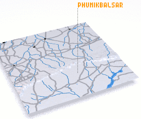 Places with similar names to Phumĭ Kbal Sâr, Cambodia :: Disclaimer :: Information on this page comes without warranty of any kind |
||
|
Where is Phumĭ Kbal Sâr? Elevation and coordinates ::
Latitude (lat): 14°20'0"N Longitude (lon): 103°35'0"E
Elevation (approx.): 85m (map arrows pan, magnifying glasses zoom) |
||
|
Visiting Phumĭ Kbal Sâr? Hotel/Accommodation ::
Book a hotel in Phumĭ Kbal Sâr Travel Guide ::
Buy a travel guide for Cambodia rental cars ::
car rental offers GPS waypoint ::
download a GPX waypoint (PoI) of Phumĭ Kbal Sâr for your GPS receiver
|
||