|
search place name
|
||
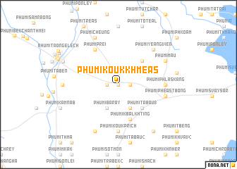
Phumĭ Koŭk Khméas (Bătdâmbâng, Cambodia)Phumĭ Koŭk Khméas is a town in the Bătdâmbâng region of Cambodia. An overview map of the region around Phumĭ Koŭk Khméas is displayed below.
regional and 3d topo map of Phumĭ Koŭk Khméas, Cambodia ::
Phumĭ Koŭk Khméas airports ::
The nearest airport is REP - Siem-reap Siem Reap, located 91.5 km south east of Phumĭ Koŭk Khméas.
Other airports nearby include NAK - Nakhon Ratchasima Khorat (166.4 km north west), Nearby towns ::
Phumĭ Ta Pho (0.0km north) //
Phumĭ Pôngrô (1.8km east) //
Phumĭ Koŭk Thmei (1.8km west) //
Phumĭ Baray (4.1km south west) //
Phumĭ Bântoăt Bás (4.1km south east) //
Phumĭ Bântéay Baôs (5.2km north east) //
Phumĭ Ta Bau (1) (5.2km south east) //
Phumĭ Kbal Khting (5.8km south) //
Phumĭ Prei (6.6km north west) //
Phumĭ Phlăs Káng (7.2km east) //
Phumĭ Chrŭng (7.2km east) //
Phumĭ Koŭk Prĭch (7.4km south) //
Phumĭ Phéas Tbong (7.4km east) //
Phumĭ Yéang Viĕn (7.8km north east) //
Phumĭ Cheung (8.2km north west) //
Phumĭ Koŭk Phchœ̆k (8.2km south west) //
Phumĭ Mau (8.1km north east) //
Phumĭ O Véng (8.6km west) //
Phumĭ Khchăs (9.2km south east) //
Phumĭ Khvav (9.3km north west) //
[all distances 'as the bird flies' and approximate] 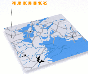 Places with similar names to Phumĭ Koŭk Khméas, Cambodia :: Disclaimer :: Information on this page comes without warranty of any kind |
||
|
Where is Phumĭ Koŭk Khméas? Elevation and coordinates ::
Latitude (lat): 13°46'0"N Longitude (lon): 103°3'0"E
Elevation (approx.): 25m (map arrows pan, magnifying glasses zoom) |
||
|
Visiting Phumĭ Koŭk Khméas? Hotel/Accommodation ::
Book a hotel in Phumĭ Koŭk Khméas Travel Guide ::
Buy a travel guide for Cambodia rental cars ::
car rental offers GPS waypoint ::
download a GPX waypoint (PoI) of Phumĭ Koŭk Khméas for your GPS receiver
|
||