|
search place name
|
||
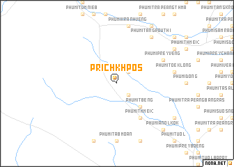
Prĭch Khpós (Kâmpóng Spœ, Cambodia)Prĭch Khpós is a town in the Kâmpóng Spœ region of Cambodia. An overview map of the region around Prĭch Khpós is displayed below.
regional and 3d topo map of Prĭch Khpós, Cambodia ::
Prĭch Khpós airports ::
The nearest airport is PNH - Phnom-penh Phnom Penh Intl, located 48.5 km east of Prĭch Khpós.
Other airports nearby include REP - Siem-reap Siem Reap (203.8 km north), Nearby towns ::
Phumĭ Krăng Svay Thum (2.6km north east) //
Phumĭ Pôngrô (2.6km south east) //
Phumĭ Tbêng (5.2km south east) //
Phumĭ Thmei (2) (6.6km south east) //
Phumĭ Prey Vêng (8.2km north east) //
Phumĭ Tăng Poŭthĭ (9.2km north east) //
Phumĭ Anol Kôk (10.4km south east) //
[all distances 'as the bird flies' and approximate] 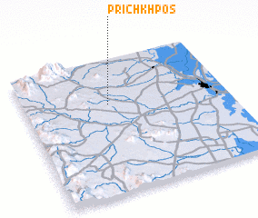 Places with similar names to Prĭch Khpós, Cambodia :: Disclaimer :: Information on this page comes without warranty of any kind |
||
|
Where is Prĭch Khpós? Elevation and coordinates ::
Latitude (lat): 11°40'0"N Longitude (lon): 104°25'0"E
Elevation (approx.): 75m (map arrows pan, magnifying glasses zoom) |
||
|
Visiting Prĭch Khpós? Hotel/Accommodation ::
Book a hotel in Prĭch Khpós Travel Guide ::
Buy a travel guide for Cambodia rental cars ::
car rental offers GPS waypoint ::
download a GPX waypoint (PoI) of Prĭch Khpós for your GPS receiver
|
||