|
search place name
|
||
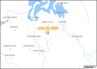
Ghilāchari (Barisāl, Bangladesh)Ghilāchari is a town in the Barisāl region of Bangladesh. An overview map of the region around Ghilāchari is displayed below.
regional and 3d topo map of Ghilāchari, Bangladesh ::
Ghilāchari airports ::
The nearest airport is CGP - Chittagong Shah Amanat Intl, located 51.8 km west of Ghilāchari.
Other airports nearby include CXB - Cox's Bazar Coxs Bazar (111.8 km south), AJL - Aizwal Aizawl (156.6 km north), IXA - Agartala (194.7 km north west), IXH - Kailashahar (211.4 km north), Nearby towns ::
Arachari (2.5km north west) //
Bharjyatali (3.7km north) //
Narengrīpāra (5.5km west) //
Tinkonia (6.3km north east) //
Kaptaimukh (7.6km north west) //
Chinkhyong (8.2km south west) //
Gaindāpāra (8.8km south west) //
Dighalchari (9.0km north east) //
[all distances 'as the bird flies' and approximate] 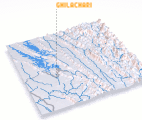 Places with similar names to Ghilāchari, Bangladesh ::
// Felīshūr (IR)
// Falchera (IT)
// Felcheriu (RO)
// Volchiy Yar (UA)
// Volchiy Yar (UA)
// Fulcher (US)
// Flasher (US)
// Fulshear (US)
// Ghilāchara (BD)
// Phulchari (BD)
Disclaimer :: Information on this page comes without warranty of any kind |
||
|
Where is Ghilāchari? Elevation and coordinates ::
Latitude (lat): 22°25'0"N Longitude (lon): 92°17'0"E
Elevation (approx.): 103m (map arrows pan, magnifying glasses zoom) |
||
|
Visiting Ghilāchari? Hotel/Accommodation ::
Book a hotel in Ghilāchari Travel Guide ::
Buy a travel guide for Bangladesh rental cars ::
car rental offers GPS waypoint ::
download a GPX waypoint (PoI) of Ghilāchari for your GPS receiver
|
||