|
search place name
|
||
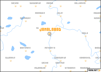
Jamālābād (Barisāl, Bangladesh)Jamālābād is a town in the Barisāl region of Bangladesh. An overview map of the region around Jamālābād is displayed below.
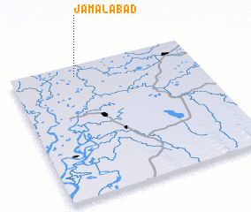
regional and 3d topo map of Jamālābād, Bangladesh ::
Jamālābād airports ::
The nearest airport is ZYL - Sylhet Osmani Osmany Intl, located 52.4 km east of Jamālābād.
Other airports nearby include IXH - Kailashahar (94.7 km south east), IXA - Agartala (114.6 km south), DAC - Dhaka Zia Intl (153.2 km south west), IXS - Silchar (164.5 km east), Nearby towns ::
 Places with similar names to Jamālābād, Bangladesh ::
Disclaimer :: Information on this page comes without warranty of any kind |
||
|
Where is Jamālābād? Elevation and coordinates ::
Latitude (lat): 24°55'0"N Longitude (lon): 91°21'0"E
Elevation (approx.): 9m (map arrows pan, magnifying glasses zoom) |
||
|
Visiting Jamālābād? Hotel/Accommodation ::
Book a hotel in Jamālābād Travel Guide ::
Buy a travel guide for Bangladesh rental cars ::
car rental offers GPS waypoint ::
download a GPX waypoint (PoI) of Jamālābād for your GPS receiver
|
||