|
search place name
|
||
Dani-Bango (Benin)Dani-Bango is a town in Benin. An overview map of the region around Dani-Bango is displayed below.
regional and 3d topo map of Dani-Bango, Benin ::

Dani-Bango airports ::
The nearest airport is SKO - Sokoto Sadiq Abubakar Iii Intl, located 236.3 km north east of Dani-Bango.
Other airports nearby include NIM - Niamey Diori Hamani (240.9 km north west), Nearby towns ::
Koko-Tombo (3.6km east) //
Modia-Bangou (4.1km south west) //
Kotaki (7.6km south) //
Soumbégolo (7.8km north west) //
Gabo-Guindé (8.3km north west) //
Tonkoté (9.1km north west) //
Sendé (10.4km south east) //
[all distances 'as the bird flies' and approximate] 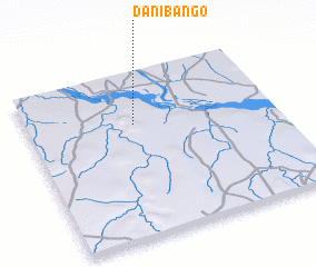 Places with similar names to Dani-Bango, Benin ::
// Town Bank (US)
// Tanbianga (BF)
// Tanahbanga (ID)
// Dan Banga (NE)
// Dan Bangou (NE)
// Tunbang (KR)
// Tunbong (KR)
// Tinbaing (MM)
// Dinh Bàng (VN)
// Ðịnh Bình (2) (VN)
Disclaimer :: Information on this page comes without warranty of any kind |
||
|
Where is Dani-Bango? Elevation and coordinates ::
Latitude (lat): 11°41'0"N Longitude (lon): 3°26'0"E
Elevation (approx.): 200m (map arrows pan, magnifying glasses zoom) |
||
|
Visiting Dani-Bango? Hotel/Accommodation ::
Book a hotel in Dani-Bango Travel Guide ::
Buy a travel guide for Benin rental cars ::
car rental offers GPS waypoint ::
download a GPX waypoint (PoI) of Dani-Bango for your GPS receiver
|
||