|
search place name
|
||
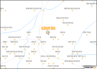
Gourou (Benin)Gourou is a town in Benin. An overview map of the region around Gourou is displayed below.
regional and 3d topo map of Gourou, Benin ::
Gourou airports ::
The nearest airport is ILR - Ilorin, located 217.0 km south east of Gourou.
Nearby towns ::
Bérou (2.6km south east) //
Danri (4.1km south west) //
Nikki (4.1km south west) //
Bérokpané (4.1km south east) //
Maro (5.2km south west) //
Sona (5.5km east) //
Débo (5.9km south) //
Woré (6.6km south west) //
Nikki-Wénou (6.7km south east) //
Gori (7.3km west) //
Baoussi (7.8km south west) //
Boukaniéré (7.8km north east) //
Yakokparo (8.2km north east) //
Sonworé (8.2km north east) //
Arou (8.3km south east) //
Sonri (9.2km south west) //
Baoussigando (10.4km south west) //
[all distances 'as the bird flies' and approximate] 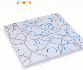 Places with similar names to Gourou, Benin ::
Disclaimer :: Information on this page comes without warranty of any kind |
||
|
Where is Gourou? Elevation and coordinates ::
Latitude (lat): 9°57'0"N Longitude (lon): 3°14'0"E
Elevation (approx.): 420m (map arrows pan, magnifying glasses zoom) |
||
|
Visiting Gourou? Hotel/Accommodation ::
Book a hotel in Gourou Travel Guide ::
Buy a travel guide for Benin rental cars ::
car rental offers GPS waypoint ::
download a GPX waypoint (PoI) of Gourou for your GPS receiver
|
||