|
search place name
|
||
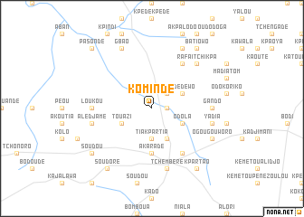
Komindè (Benin)Komindè is a town in Benin. An overview map of the region around Komindè is displayed below.
regional and 3d topo map of Komindè, Benin ::
Komindè airports ::
The nearest airport is LRL - Niatougou Niamtougou International, located 54.1 km north west of Komindè.
Nearby towns ::
Touroumini (1.8km east) //
Kpouindi (2.6km north east) //
Tiakpartia (3.7km south) //
Kouloumizi (4.1km south east) //
Odola (4.1km south east) //
Agougou (4.1km south east) //
Adédéwo (4.1km north east) //
Touazi (4.1km south west) //
Akaradè (5.6km south) //
Djenkème (6.7km north east) //
Aledjo-Koura (6.7km south east) //
Gando (7.3km east) //
Loukou (7.3km west) //
Yadia (7.5km east) //
Tchèmbèré (7.6km south) //
Alédjamé (7.5km west) //
Rafaïtchikpa (7.8km north east) //
Ogougouworo (8.2km south east) //
Agbandari (8.3km north east) //
Gbao (8.3km north west) //
Batiowo (9.2km north east) //
Soudou (9.2km south west) //
Soudoré (9.2km south west) //
Kpartao (9.2km south east) //
Pasondé (10.4km north west) //
[all distances 'as the bird flies' and approximate] 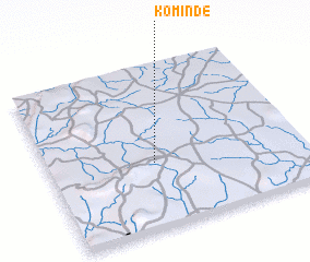 Places with similar names to Komindè, Benin ::
Disclaimer :: Information on this page comes without warranty of any kind |
||
|
Where is Komindè? Elevation and coordinates ::
Latitude (lat): 9°24'0"N Longitude (lon): 1°25'0"E
Elevation (approx.): 376m (map arrows pan, magnifying glasses zoom) |
||
|
Visiting Komindè? Hotel/Accommodation ::
Book a hotel in Komindè Travel Guide ::
Buy a travel guide for Benin rental cars ::
car rental offers GPS waypoint ::
download a GPX waypoint (PoI) of Komindè for your GPS receiver
|
||