|
search place name
|
||
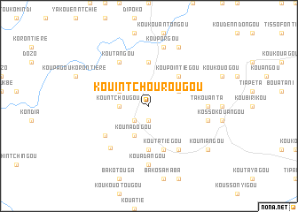
Kouintchourougou (Benin)Kouintchourougou is a town in Benin. An overview map of the region around Kouintchourougou is displayed below.
regional and 3d topo map of Kouintchourougou, Benin ::
Kouintchourougou airports ::
The nearest airport is LRL - Niatougou Niamtougou International, located 47.9 km south of Kouintchourougou.
Other airports nearby include TML - Tamale (228.5 km west), Nearby towns ::
Koutatiégou (1.9km south) //
Boukonmbé-Zongo (2.6km south west) //
Boukombé (2.6km south west) //
Kountchougou (3.6km west) //
Kounadogou (4.1km south west) //
Kounokogou (4.1km north east) //
Koupagou (4.1km north west) //
Koupointiégou (5.2km north east) //
Koumagou (5.6km south) //
Koutanangou (5.6km north) //
Koutatiégou (5.9km south) //
Koutagou (6.7km south east) //
Koukouangou (6.6km south west) //
Koutangou (6.6km north west) //
Nadoba (7.1km south west) //
Takouanta (7.3km east) //
Kouadangou (7.4km south) //
Koutamongou (7.5km east) //
Kouporgou (7.6km north) //
Kounaniengou (8.3km north east) //
Kouniangou (9.2km south east) //
[all distances 'as the bird flies' and approximate] 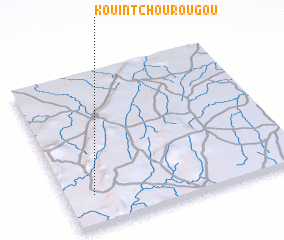 Places with similar names to Kouintchourougou, Benin :: Disclaimer :: Information on this page comes without warranty of any kind |
||
|
Where is Kouintchourougou? Elevation and coordinates ::
Latitude (lat): 10°12'0"N Longitude (lon): 1°7'0"E
Elevation (approx.): 246m (map arrows pan, magnifying glasses zoom) |
||
|
Visiting Kouintchourougou? Hotel/Accommodation ::
Book a hotel in Kouintchourougou Travel Guide ::
Buy a travel guide for Benin rental cars ::
car rental offers GPS waypoint ::
download a GPX waypoint (PoI) of Kouintchourougou for your GPS receiver
|
||