|
search place name
|
||
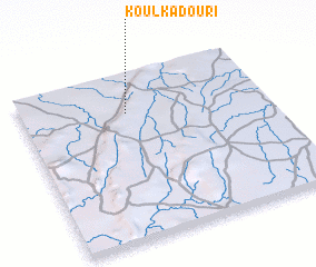
Koulkadouri (Benin)Koulkadouri is a town in Benin. An overview map of the region around Koulkadouri is displayed below.
regional and 3d topo map of Koulkadouri, Benin ::

Koulkadouri airports ::
The nearest airport is LRL - Niatougou Niamtougou International, located 116.7 km south of Koulkadouri.
Nearby towns ::
 Places with similar names to Koulkadouri, Benin ::
// Kılıçdere (TR)
// Gouli Godiaré (BF)
// Kilakkettara (IN)
// Kalak Darreh (IR)
// Kal Akhtar (IR)
// Kaleh Qaţār (IR)
// Kaleh Qaţār (IR)
// Kalgā Darreh (IR)
// Kal Godār (IR)
// Gul Akhtar (PK)
Disclaimer :: Information on this page comes without warranty of any kind |
||
|
Where is Koulkadouri? Elevation and coordinates ::
Latitude (lat): 10°46'0"N Longitude (lon): 1°26'0"E
Elevation (approx.): 411m (map arrows pan, magnifying glasses zoom) |
||
|
Visiting Koulkadouri? Hotel/Accommodation ::
Book a hotel in Koulkadouri Travel Guide ::
Buy a travel guide for Benin rental cars ::
car rental offers GPS waypoint ::
download a GPX waypoint (PoI) of Koulkadouri for your GPS receiver
|
||