|
search place name
|
||
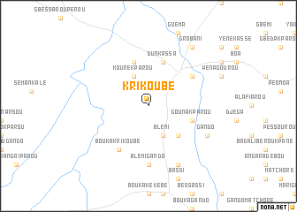
Krikoubé (Benin)Krikoubé is a town in Benin. An overview map of the region around Krikoubé is displayed below.
regional and 3d topo map of Krikoubé, Benin ::
Krikoubé airports ::
The nearest airport is ILR - Ilorin, located 256.8 km south east of Krikoubé.
Nearby towns ::
Kourekparou (4.1km north west) //
Blémi (4.1km south east) //
Béroubassi (5.2km south east) //
Dunkassa (5.9km north) //
Bagouroulé (5.9km north) //
Gounakparou (5.8km east) //
Dangourou (6.6km north east) //
Bouka Krikoubé (6.6km south west) //
Blémi Gando (7.4km south) //
Gando (8.2km south east) //
Barikéké (8.3km south east) //
Grobani (9.2km north east) //
[all distances 'as the bird flies' and approximate] 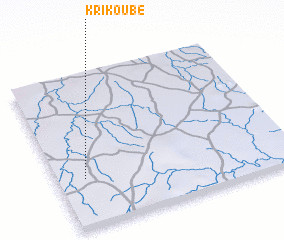 Places with similar names to Krikoubé, Benin ::
// Kreggab (AT)
// Curcubeu (RO)
// Karacabey (TR)
// Karacaoba (TR)
// Carcabuey (ES)
// Korguba (RU)
// Cura Cabai (AW)
// Gorgoba (BJ)
// Karokoubou (BJ)
// Gorougbé (BF)
Disclaimer :: Information on this page comes without warranty of any kind |
||
|
Where is Krikoubé? Elevation and coordinates ::
Latitude (lat): 10°19'0"N Longitude (lon): 3°7'0"E
Elevation (approx.): 311m (map arrows pan, magnifying glasses zoom) |
||
|
Visiting Krikoubé? Hotel/Accommodation ::
Book a hotel in Krikoubé Travel Guide ::
Buy a travel guide for Benin rental cars ::
car rental offers GPS waypoint ::
download a GPX waypoint (PoI) of Krikoubé for your GPS receiver
|
||