|
search place name
|
||
Ouédo-Aguéko (Benin)Ouédo-Aguéko is a town in Benin. An overview map of the region around Ouédo-Aguéko is displayed below.
regional and 3d topo map of Ouédo-Aguéko, Benin ::

Ouédo-Aguéko airports ::
The nearest airport is COO - Cotonou Cadjehoun, located 17.4 km south west of Ouédo-Aguéko.
Other airports nearby include LOS - Lagos Murtala Muhammed (96.7 km east), LFW - Lome Gnassingbe Eyadema Intl (137.3 km west), IBA - Ibadan (194.0 km north east), Nearby towns ::
Ouédo-Gbadji (1.9km south) //
Gbessou (4.1km north west) //
So-Zounko (5.2km south west) //
Ganvié (5.2km south west) //
So-Tchahoué (5.2km south west) //
Dékin-Afio (5.6km north) //
Décamé (5.5km east) //
So-Awa (5.5km west) //
Dékin-Hounhoué (7.4km north) //
[all distances 'as the bird flies' and approximate] 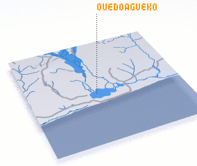
Disclaimer :: Information on this page comes without warranty of any kind |
||
|
Where is Ouédo-Aguéko? Elevation and coordinates ::
Latitude (lat): 6°30'0"N Longitude (lon): 2°27'0"E
(map arrows pan, magnifying glasses zoom) |
||
|
Visiting Ouédo-Aguéko? Hotel/Accommodation ::
Book a hotel in Ouédo-Aguéko Travel Guide ::
Buy a travel guide for Benin rental cars ::
car rental offers GPS waypoint ::
download a GPX waypoint (PoI) of Ouédo-Aguéko for your GPS receiver
|
||