|
search place name
|
||
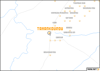
Tamankourou (Benin)Tamankourou is a town in Benin. An overview map of the region around Tamankourou is displayed below.
regional and 3d topo map of Tamankourou, Benin ::
Tamankourou airports ::
The nearest airport is LRL - Niatougou Niamtougou International, located 186.5 km south west of Tamankourou.
Nearby towns ::
Tata (1.9km south) //
Méréga (2.6km south east) //
Gbassa (4.1km south east) //
Kobi (4.1km north east) //
Sabinésson (7.3km east) //
Boukoubrou (7.4km south) //
Babou (7.5km east) //
Monoum (7.8km north east) //
Karagounkourou (8.3km north east) //
Satoha (9.2km north east) //
Bouyankoulou (9.2km north east) //
[all distances 'as the bird flies' and approximate] 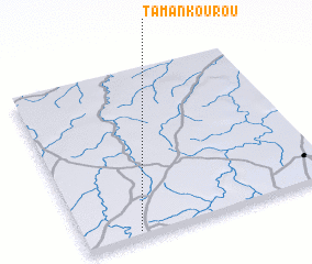 Places with similar names to Tamankourou, Benin ::
// Temboh Hangar (MY)
// Temengor (MY)
// Tambo Negro (EC)
// Río Tamanique (SV)
// Dāmnagar (IN)
// Damunagare (LK)
// Dambanguiro (NE)
// Dioumanegar (SN)
// Deh Mangrio (PK)
// Timbangor (NG)
Disclaimer :: Information on this page comes without warranty of any kind |
||
|
Where is Tamankourou? Elevation and coordinates ::
Latitude (lat): 11°2'0"N Longitude (lon): 2°13'0"E
Elevation (approx.): 319m (map arrows pan, magnifying glasses zoom) |
||
|
Visiting Tamankourou? Hotel/Accommodation ::
Book a hotel in Tamankourou Travel Guide ::
Buy a travel guide for Benin rental cars ::
car rental offers GPS waypoint ::
download a GPX waypoint (PoI) of Tamankourou for your GPS receiver
|
||