|
search place name
|
||
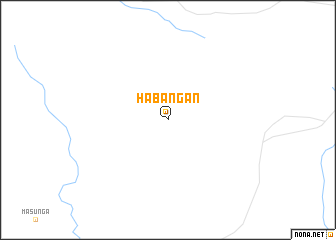
Habangan (Botswana)Habangan is a town in Botswana. An overview map of the region around Habangan is displayed below.
regional and 3d topo map of Habangan, Botswana ::
Habangan airports ::
The nearest airport is FRW - Francistown, located 66.1 km south of Habangan.
Other airports nearby include BUQ - Bulawayo J M Nkomo Intl (127.0 km north east), PKW - Selebi-phikwe Selebi Phikwe (167.7 km south), WKM - Hwange National Park (221.5 km north), Nearby towns ::
[all distances 'as the bird flies' and approximate] 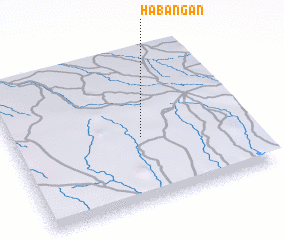 Places with similar names to Habangan, Botswana ::
// Habiñgan (PH)
// Habingan (PH)
// Hiabangan (PH)
// Hobangan (PH)
// Hubangon (PH)
// Habong-ni (KP)
// Habung-ni (KP)
// Haebang-ni (KP)
// Hoebong-ni (KP)
// Hoebong-ni (KP)
Disclaimer :: Information on this page comes without warranty of any kind |
||
|
Where is Habangan? Elevation and coordinates ::
Latitude (lat): 20°34'0"S Longitude (lon): 27°33'0"E
Elevation (approx.): 1253m (map arrows pan, magnifying glasses zoom) |
||
|
Visiting Habangan? Hotel/Accommodation ::
Book a hotel in Habangan Travel Guide ::
Buy a travel guide for Botswana rental cars ::
car rental offers GPS waypoint ::
download a GPX waypoint (PoI) of Habangan for your GPS receiver
|
||