|
search place name
|
||
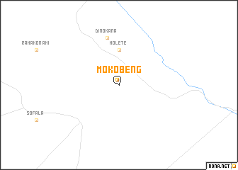
Mokobeng (Botswana)Mokobeng is a town in Botswana. An overview map of the region around Mokobeng is displayed below.
regional and 3d topo map of Mokobeng, Botswana ::
Mokobeng airports ::
The nearest airport is PKW - Selebi-phikwe Selebi Phikwe, located 105.5 km north of Mokobeng.
Other airports nearby include FRW - Francistown (202.3 km north), PTG - Pietersburg (220.5 km south east), GBE - Gaberone Sir Seretse Khama Intl (243.1 km south west), Nearby towns ::
 Places with similar names to Mokobeng, Botswana ::
// Macaw Bank (BZ)
// Macaw Bank (BZ)
// Macabbungao (PH)
// Magbang (PH)
// Maquebenga (PH)
// Magobeng (ZA)
// Magobeng (ZA)
// Magbanga (CD)
// Makabongo (CD)
// Mogbonga (CD)
Disclaimer :: Information on this page comes without warranty of any kind |
||
|
Where is Mokobeng? Elevation and coordinates ::
Latitude (lat): 22°59'0"S Longitude (lon): 27°35'0"E
Elevation (approx.): 944m (map arrows pan, magnifying glasses zoom) |
||
|
Visiting Mokobeng? Hotel/Accommodation ::
Book a hotel in Mokobeng Travel Guide ::
Buy a travel guide for Botswana rental cars ::
car rental offers GPS waypoint ::
download a GPX waypoint (PoI) of Mokobeng for your GPS receiver
|
||