|
search place name
|
||
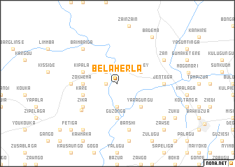
Bélaherla (Burkina Faso)Bélaherla is a town in Burkina Faso. An overview map of the region around Bélaherla is displayed below.
regional and 3d topo map of Bélaherla, Burkina Faso ::
Bélaherla airports ::
The nearest airport is TML - Tamale, located 180.9 km south of Bélaherla.
Other airports nearby include OUA - Ouagadougou (185.2 km north west), LRL - Niatougou Niamtougou International (218.5 km south east), Nearby towns ::
Bugula (1.8km west) //
Ounigaré (2.6km north west) //
Galaka (3.7km south) //
Nianley (4.1km north east) //
Yaragungu (5.2km south east) //
Guzongo (5.6km south) //
Zokwema (5.5km west) //
Kipala (5.8km west) //
Kare (5.8km west) //
Zika (6.6km south west) //
Sapelliga (7.1km south west) //
Orgaré (7.3km west) //
Mogoumnore (7.3km east) //
Jentega (7.3km east) //
Banshi (7.6km south) //
Baimbaiga (7.8km north west) //
Zan (8.2km north east) //
Badéma (9.2km north east) //
Dabzouri (9.2km south west) //
Jentega (9.2km south east) //
Fetiga (10.4km south west) //
Sogodi (10.4km south east) //
Zawse (10.4km south east) //
[all distances 'as the bird flies' and approximate] 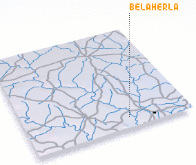 Places with similar names to Bélaherla, Burkina Faso :: Disclaimer :: Information on this page comes without warranty of any kind |
||
|
Where is Bélaherla? Elevation and coordinates ::
Latitude (lat): 11°7'0"N Longitude (lon): 0°22'0"W
Elevation (approx.): 187m (map arrows pan, magnifying glasses zoom) |
||
|
Visiting Bélaherla? Hotel/Accommodation ::
Book a hotel in Bélaherla Travel Guide ::
rental cars ::
car rental offers GPS waypoint ::
download a GPX waypoint (PoI) of Bélaherla for your GPS receiver
|
||