|
search place name
|
||
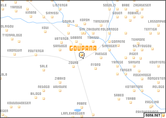
Goupana (Oubritenga, Burkina Faso)Goupana is a town in the Oubritenga region of Burkina Faso. An overview map of the region around Goupana is displayed below.
regional and 3d topo map of Goupana, Burkina Faso ::
Goupana airports ::
The nearest airport is OUA - Ouagadougou, located 30.0 km south of Goupana.
Nearby towns ::
Zouma (2.8km south west) //
Gaské (3.3km north) //
Nyoro (3.6km south east) //
Pwédgo (4.0km east) //
Paratenga (4.0km east) //
Dabaré (4.2km north) //
Tamissi (4.5km north east) //
Sandogo (5.5km north west) //
Tanlili (5.8km north) //
Sini (5.8km north) //
Watenga (6.0km north west) //
Zakouré (6.2km north) //
Simnogen (6.2km east) //
Kousoumason (6.6km north west) //
Gambastenga (7.0km north east) //
Zibako (7.3km south west) //
Koudougou (7.8km north) //
Korom (7.9km north) //
Yanégé (7.8km east) //
Rolornogo (8.2km north east) //
Dapélogo (8.2km north east) //
Gouala (8.3km north west) //
Gorpéné (8.3km east) //
Koaken (8.4km south east) //
Tangséra (8.6km north east) //
Wavouré (8.8km south west) //
Salé (9.0km west) //
Koui (10.4km north west) //
Nédogo (11.2km south west) //
[all distances 'as the bird flies' and approximate] 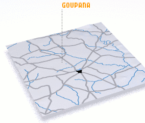 Places with similar names to Goupana, Burkina Faso ::
Disclaimer :: Information on this page comes without warranty of any kind |
||
|
Where is Goupana? Elevation and coordinates ::
Latitude (lat): 12°36'52"N Longitude (lon): 1°35'13"W
Elevation (approx.): 304m (map arrows pan, magnifying glasses zoom) |
||
|
Visiting Goupana? Hotel/Accommodation ::
Book a hotel in Goupana Travel Guide ::
rental cars ::
car rental offers GPS waypoint ::
download a GPX waypoint (PoI) of Goupana for your GPS receiver
|
||