|
search place name
|
||
Indangara (Burkina Faso)Indangara is a town in Burkina Faso. An overview map of the region around Indangara is displayed below.
regional and 3d topo map of Indangara, Burkina Faso ::

Indangara airports ::
The nearest airport is BOY - Bobo-dioulasso Bobo Dioulasso, located 139.6 km north west of Indangara.
Nearby towns ::
Niradora (1.8km west) //
Gbalara (1.8km west) //
Niaména (3.6km east) //
Politionao (3.7km north) //
Tinkakpéra (4.1km north east) //
Bondoména (4.1km south east) //
Ifoukar (4.1km south east) //
Fofora (4.1km south west) //
Moulola (5.2km north west) //
Goualé (5.6km south) //
Pienna (5.8km west) //
Wadara (5.9km north) //
Bouti (6.6km south east) //
Mindénina (6.6km north east) //
Tiosséra (6.6km south west) //
Yenbiro (6.6km south east) //
Libirira (6.6km north west) //
Dinkabara (7.5km east) //
Torkora (7.5km west) //
Dinénéména (7.8km south east) //
Bartera (9.2km north east) //
Silapéné (9.2km north east) //
Diégbanao (10.4km north east) //
Soroumboura (10.4km south east) //
Bondoura (10.4km north west) //
Torohiri (10.4km south west) //
[all distances 'as the bird flies' and approximate] 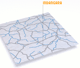
Disclaimer :: Information on this page comes without warranty of any kind |
||
|
Where is Indangara? Elevation and coordinates ::
Latitude (lat): 10°13'0"N Longitude (lon): 3°29'0"W
Elevation (approx.): 312m (map arrows pan, magnifying glasses zoom) |
||
|
Visiting Indangara? Hotel/Accommodation ::
Book a hotel in Indangara Travel Guide ::
rental cars ::
car rental offers GPS waypoint ::
download a GPX waypoint (PoI) of Indangara for your GPS receiver
|
||