|
search place name
|
||
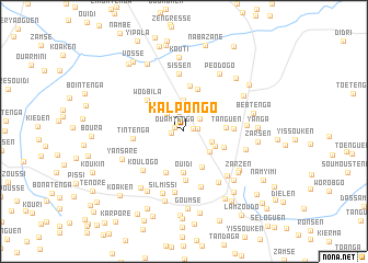
Kalpongo (Kadiogo, Burkina Faso)Kalpongo is a town in the Kadiogo region of Burkina Faso. An overview map of the region around Kalpongo is displayed below.
regional and 3d topo map of Kalpongo, Burkina Faso ::
Kalpongo airports ::
The nearest airport is OUA - Ouagadougou, located 29.3 km north west of Kalpongo.
Nearby towns ::
Lamzoudo (1.0km east) //
Ouamtenga (1.0km north west) //
Silmissin (1.2km west) //
Goanguen (1.4km east) //
Pissi (2.0km north) //
Gounguen (2.1km north east) //
Goumtoaga (2.5km north west) //
Toéssen (3.0km east) //
Koubry (3.2km north) //
Motenga (3.3km south east) //
Yargo (3.5km south east) //
Koukpéla (4.1km south east) //
Ouidi (4.2km south) //
Tanguen (4.2km east) //
Kagamzensé (4.3km south east) //
Timtenga (4.5km north) //
Kombos Yargo (4.6km south west) //
Bilbalgo (4.7km north) //
Wodbila (4.9km north west) //
Kokonsé (4.9km south) //
Boula (5.0km east) //
Tintenga (5.2km west) //
Koulogo (5.7km south west) //
Kondouboéga (5.9km south) //
Sissen (5.9km north) //
Ronsen (6.2km south east) //
Tampouitenga (6.2km south east) //
Yaoguen (6.3km south) //
Koulwoko (6.3km east) //
[all distances 'as the bird flies' and approximate] 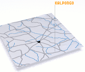 Places with similar names to Kalpongo, Burkina Faso ::
// Gulpeng (PH)
// Klapping (AT)
// Głupianka (PL)
// Kiełpieniec (PL)
// Kiełpinek (PL)
// Kiełpiniec (PL)
// Kołpinek (PL)
// Kolpinka (RU)
// Quillopongo (EC)
// Kalipang (ID)
Disclaimer :: Information on this page comes without warranty of any kind |
||
|
Where is Kalpongo? Elevation and coordinates ::
Latitude (lat): 12°7'16"N Longitude (lon): 1°22'59"W
Elevation (approx.): 312m (map arrows pan, magnifying glasses zoom) |
||
|
Visiting Kalpongo? Hotel/Accommodation ::
Book a hotel in Kalpongo Travel Guide ::
rental cars ::
car rental offers GPS waypoint ::
download a GPX waypoint (PoI) of Kalpongo for your GPS receiver
|
||