|
search place name
|
||
Kotédougou (Burkina Faso)Kotédougou is a town in Burkina Faso. An overview map of the region around Kotédougou is displayed below.
regional and 3d topo map of Kotédougou, Burkina Faso ::

Kotédougou airports ::
The nearest airport is BOY - Bobo-dioulasso Bobo Dioulasso, located 22.0 km west of Kotédougou.
Other airports nearby include HGO - Korhogo (254.0 km south west), Nearby towns ::
Ourouyama (2.6km south west) //
Bindowé (5.2km south east) //
Léguéma (5.2km north west) //
Yéguéresso (5.8km south) //
Tonogosso (5.8km south) //
Zonesso (6.6km south west) //
Koundimi Soudéni (6.6km north east) //
Koundimi Ba (7.5km east) //
Kona (7.6km north) //
Koro (9.2km south west) //
[all distances 'as the bird flies' and approximate] 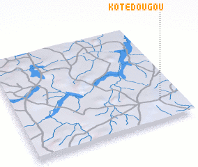 Places with similar names to Kotédougou, Burkina Faso ::
// Kui Tatk (US)
// Gato de Agua (PA)
// Coţatcu (RO)
// Coto y Daca (ES)
// Koutatiégou (BJ)
// Koutatiégou (BJ)
// Kitodougou (BF)
// Kotadaik (ID)
// Guatateca (HN)
// Kotidougou (GN)
Disclaimer :: Information on this page comes without warranty of any kind |
||
|
Where is Kotédougou? Elevation and coordinates ::
Latitude (lat): 11°12'0"N Longitude (lon): 4°8'0"W
Elevation (approx.): 359m (map arrows pan, magnifying glasses zoom) |
||
|
Visiting Kotédougou? Hotel/Accommodation ::
Book a hotel in Kotédougou Travel Guide ::
rental cars ::
car rental offers GPS waypoint ::
download a GPX waypoint (PoI) of Kotédougou for your GPS receiver
|
||