|
search place name
|
||
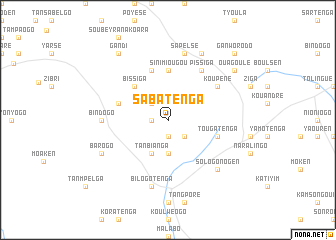
Sabatenga (Burkina Faso)Sabatenga is a town in Burkina Faso. An overview map of the region around Sabatenga is displayed below.
regional and 3d topo map of Sabatenga, Burkina Faso ::
Sabatenga airports ::
The nearest airport is OUA - Ouagadougou, located 71.3 km west of Sabatenga.
Nearby towns ::
Soroden (1.9km south) //
Tansyéga (1.8km west) //
Kyenkiélogo (2.6km south east) //
Finfinra (2.6km north west) //
Siguinvoussé (3.7km south) //
Tanbianga (4.1km south west) //
Bissiga (5.2km north west) //
Sinimiougou (5.6km north) //
Tougatenga (5.7km east) //
Gounguen (5.7km west) //
Dafolé (5.8km north) //
Pissiga (6.6km north east) //
Koupéné (6.6km north east) //
Bindogo (7.2km west) //
Bilogotenga (7.6km south) //
Sapelsé (7.6km north) //
Sologo Nogen (7.8km south east) //
Barogo (8.1km south west) //
Léba (8.2km north east) //
Ouagoulé (9.1km north east) //
Gandi (9.2km north west) //
Ganworodo (10.4km north east) //
[all distances 'as the bird flies' and approximate] 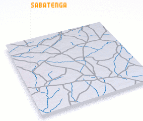 Places with similar names to Sabatenga, Burkina Faso ::
// Subbotinka (RU)
// Subbotniki (RU)
// Subbotniki (RU)
// Subbotniki (RU)
// Subbotniki (RU)
// Subbotniki (RU)
// Sabudaung (MM)
// Sebatong (MY)
// Sabtenga (BF)
// Sabtenga (BF)
Disclaimer :: Information on this page comes without warranty of any kind |
||
|
Where is Sabatenga? Elevation and coordinates ::
Latitude (lat): 12°35'0"N Longitude (lon): 0°54'0"W
Elevation (approx.): 331m (map arrows pan, magnifying glasses zoom) |
||
|
Visiting Sabatenga? Hotel/Accommodation ::
Book a hotel in Sabatenga Travel Guide ::
rental cars ::
car rental offers GPS waypoint ::
download a GPX waypoint (PoI) of Sabatenga for your GPS receiver
|
||