|
search place name
|
||
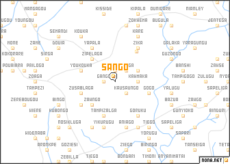
Sango (Burkina Faso)Sango is a town in Burkina Faso. An overview map of the region around Sango is displayed below.
regional and 3d topo map of Sango, Burkina Faso ::
Sango airports ::
The nearest airport is TML - Tamale, located 169.4 km south of Sango.
Other airports nearby include OUA - Ouagadougou (186.4 km north west), LRL - Niatougou Niamtougou International (219.3 km south east), Nearby towns ::
Gango (1.8km west) //
Youga (1.9km north) //
Ouiligo (1.9km north) //
Kausaungo (2.6km south east) //
Fetiga (2.6km north east) //
Kawmaka (3.6km east) //
Dabzouri (4.1km north east) //
Zawngo (5.2km south west) //
Zipélaga (5.2km north west) //
Gogo (5.8km east) //
Zusablaga (5.8km west) //
Youkouka (5.8km west) //
Tampizalga (5.8km south) //
Sapelliga (6.1km north east) //
Yapala (6.6km north west) //
Zika (6.6km north east) //
Bougouré (6.6km south west) //
Goruku (6.6km south east) //
Yikurugu (7.6km south) //
Aniago (7.6km south) //
Teshi (8.3km south west) //
Saka (8.3km south east) //
Kare (8.3km north east) //
Tiego (9.2km south east) //
Kouka (9.2km north west) //
Kamsango (10.4km south west) //
Nosikluga (10.4km south west) //
[all distances 'as the bird flies' and approximate] 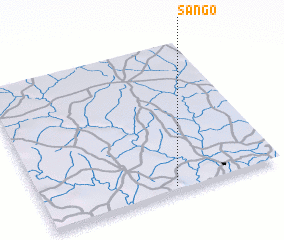 Places with similar names to Sango, Burkina Faso ::
Disclaimer :: Information on this page comes without warranty of any kind |
||
|
Where is Sango? Elevation and coordinates ::
Latitude (lat): 11°2'0"N Longitude (lon): 0°27'0"W
Elevation (approx.): 380m (map arrows pan, magnifying glasses zoom) |
||
|
Visiting Sango? Hotel/Accommodation ::
Book a hotel in Sango Travel Guide ::
rental cars ::
car rental offers GPS waypoint ::
download a GPX waypoint (PoI) of Sango for your GPS receiver
|
||